The largest state in the North East
Arunachal Pradesh is the largest among the eight states located in the North East part of India, with an area of 83,743 square Kilometers. Arunachal Pradesh shares its borders with the neighboring countries of Bhutan in the west, China (Tibet) in the north and northeast, Myanmar in the east and southeast, and the Indian states of Assam and Nagaland in the south. Arunachal Pradesh is strategically located between India and South-Asian Countries and can act as a gateway to South-Asian Countries.
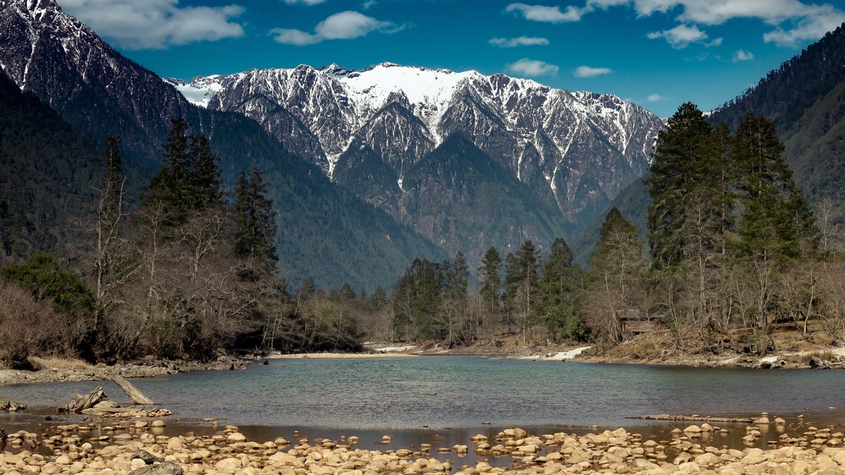
Arunachal Pradesh, meaning ‘Land of the Dawn-Lit Mountains’ constitutes a mountainous area in the extreme northeastern part of the country with the Himalayan ranges running north to south and is divided into five river valleys — the Kameng, the Subansiri, the Siang, the Lohit, and the Tirap. Rich species of flora and fauna in addition to a wide range of wide agro-climatic conditions make the state a prominent hotspot of biodiversity in the country.
Summary of Socio-Economic Indicators
Land and people
Population indicators: Statistical Abstract 2021, Census 2011. District count: Industrial Policy, April 2025. Sources checked 12 September 2026.
- Area (Sq. km)
- 83,743 Sq. Km
- Population
- ~1.6 million (projected 2025); 13,83,727 at the 2011 Census
- Capital
- Itanagar
- Borders
- China (1126 km), Myanmar (520 km), Bhutan (217 km)
- Density of Population (India = 382 persons)
- 17 persons per sq Km
- Population Growth (2001 to 2011)
- 26.03%
- Number of Districts
- 28
- Literacy rate (2011 Census)
- 65.38%
- Sex ratio (2011 Census)
- 938 females per 1,000 males
Economy
- GSDP at Current Prices
- Rs 37870 Crores
- GSDP at Constant Prices
- Rs 2,002,783 lakhs
- Per capita Income (NSDP) at current prices
- Rs 2,38,123 Advance estimate, Directorate of Economics & Statistics
Connectivity
- Road network (km) – density
- 603.69 per 1000 sq km (2018) Source: RBI handbook 2020-21
- National Highways (km)
- 2537 km as on 2018
- Rail Lines
-
- Arunachal Pradesh was the 4th among all NE states to be put on the national railway map as Naharlagun was connected with the rest of the country by broad gauge passenger train service in 2018.
- The railway station is connected to Guwahati (Donyi Polo Express and Shatabdi Express), New Delhi (Arunachal Express) and Tinsukia (Naharlagun-Tinsukia Express) by regular services.
- The State now has three railway stations (Naharlagun, Gumto and Bhalukpong).
- The Murkongselek–Pasighat line (26 km) is under construction, and about 540 km of further new lines have been surveyed: Pasighat–Tezu–Rupai, Silapathar–Bame–Along and Misamari–Tawang.
- Airports
- 4 (Itanagar, Pasighat, Tezu & Ziro); air cargo facility at Donyi Polo Airport, Itanagar; 25 operational helipads
Industry
- Key Industries
- Breweries, Handloom & Handicraft, Weaving & Wood carving
- Prospective Industries
- Power, Agri-Horti Product, Tourism, Hydrocarbon, Bamboo processing
Key Highlights
- 01
One of the 12 Biodiversity Hotspots of India
- 02
Pakke Tiger Reserve 2047 Declaration on Climate Change Resilient and Responsive Arunachal Pradesh — the first-ever state-level declaration to fight climate change
- 03
20 GI Tag products — targeting 50 by 2047
- 04
Home to 26 ethnic tribes and over 100 sub-tribes